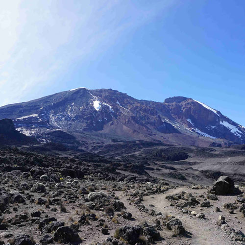
Trekking Adventure
Trekking Adventure
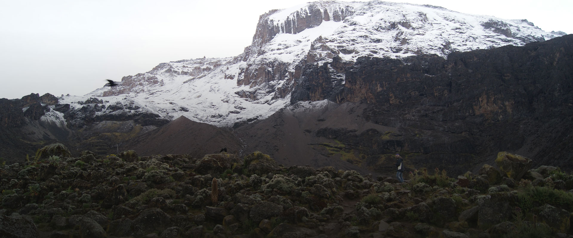
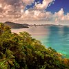
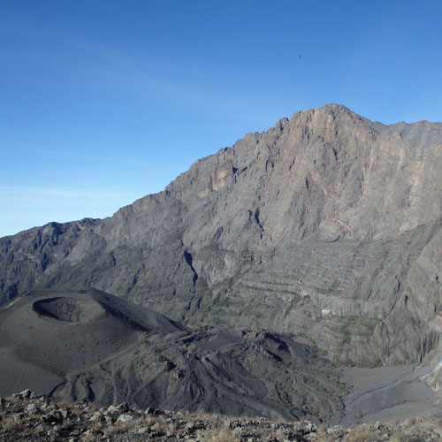
Trekkers will be glad to know the trip doesn’t end once you Climbing Mount Kilimanjaro – there is so much more to see! We’ve made a list of some of the best mountain destinations in Tanzania, whether for day trips or multi-day hikes. Please note, as many of these mountains are located in protected national parks, we always recommend checking the latest park fees before you go.
Of epic journeys
Join the Many Travellers Who Discovered the African Traces Magic.
Owned by a guiding family for 8 years.


Went for 5 days climb to Kili from Marangu Gate. Good preparation (all missing equipment provided for free), great organisation and splendide execution..All of it for a fare price. Thank you Marko, Kenny, Rama and the rest of the team!
I’m glad I chose African traces for my Kilimanjaro climb via the 6-day Machame route. Marko, the owner, was very responsive throughout the planning phase and made modifications up until the last moments
Our safari was a 5-day trip. Marko helped us arranged it. Marko is really responsible and every time reply to me with a fast speed. Even helped us to get the SIM card. William was our guide, he is really gentle, friendly, and kind.
The trip was amazing. William was our guide. We are sure the safari experience wouldnt be the same without him. He made sure we are ok every second, that we saw the animals we wanted and as close as possible.
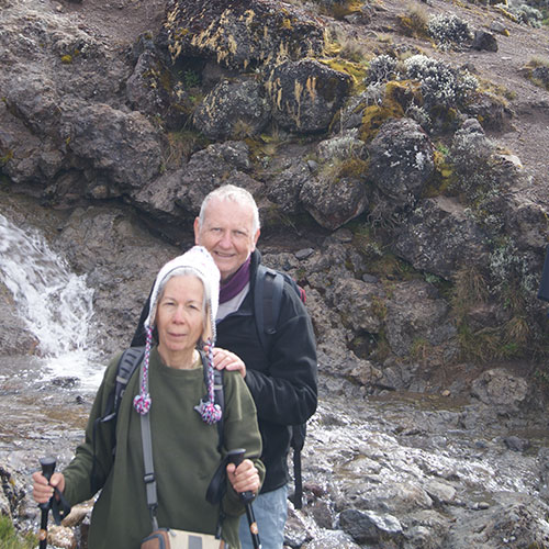
My wife and I booked trough African traces both the kilimanjaro treck and safari and are extremely happy we did. After 12 years of being a porter to cook to assistant guide to chief guide and finally safari guide
Expertise in Authentic Tanzanian Travel Experiences
Our tours offer enriching safari experiences across Tanzania. We focus on genuine cultural exchanges, environmental care, and supporting local communities. This approach enhances your trip and positively impacts the regions you visit, deepening your understanding and appreciation of the country.


A few months have passed, and I am still immersed in a happy and wonderful safari trip, with beautiful grasslands, lazy lions, and clever zebras... I am very grateful to the enthusiastic Marko, who planned based on my needs